2026 Results & Photos
Congratulations to all 2026 runners! You can find results from this year on OpenSplitTime.
Thank you so much to our amazing volunteers!
We look forward to seeing you all next summer! Registration for the 2027 lottery will open in the fall.
CONGRATULATIONS to 2026's Joel Zucker Memorial Scholarship winners!

We are proud to announce this year’s Joel Zucker Memorial Scholarships to six graduating High School seniors and 10 Continuing Education students for a total of $64,000. Now in its 27th year, this scholarship was established in memory of Joel Zucker who died after finishing his third Hardrock Hundred Endurance Run in 1998. This year marks 181 scholarships for a total distribution of $435,000. All college-bound applicants from Silverton are considered as well as students in the surrounding San Juan Mountain communities that volunteer at the Hardrock Hundred Run.
Who was Joel Zucker? He embraced challenge and risk, and ultrarunning provided him with both. I expect that he is now running the next challenge. I had found a quote that I was going to give to him when he got back and I'll share it with you now: "Every man dies, but not every man truly lives." Joel lived life to the fullest. Read a lovely remembrance from friend and scholarship administrator Andi Kron.
High School:
- Jean Carlos Varela
- Nicolas Quintana Roman
- Quinton Joyce
- Mackenzie Phillimore
- Rylan Jaramillo
- Rowan McNeese
Continuing Education:
- Jacquelin Acosta, Colorado Mesa University
- Katelyn Cunningham, Berry College
- Mylah Gallegos, New York University
- Priya Hartman, Berry College
- Bennett Levine, Western Colorado
- Karely Ortega, Colorado State University
- Caroline Thompson, University of Colorado
- Alejandro Torres Saldana, Metropolita State University of Denver
- Kharis Weller, Western Colorado
- Paton Edwards, Colorado State University
Donations are Appreciated!
Remembering John Cappis
Hardrock is sad to learn of the passing of one of its founding members, John Cappis. John was the original course director of the Hardrock Hundred and served as the Board of Directors president until 2008.
One of the pioneers of American ultrarunning, John placed 3rd at the Western States Endurance Run in 1978, the first year that event was held as a stand alone event separate from the Tevis Cup Ride. John also placed 4th overall in the inaugural Hardrock Hundred in 1992, running start to finish with his longtime friend and fellow board member, Charlie Thorn.
In 1996, John was honored with the prestigious Mother Lode Award for his significant contributions to the Hardrock community, and in 2025 he was inducted into the Hardrock Hall of Fame. John Cappis epitomized the Hardrock slogan “Wild and Tough.” His spirit remains in the course he helped create and in the hearts of all Hardrockers.
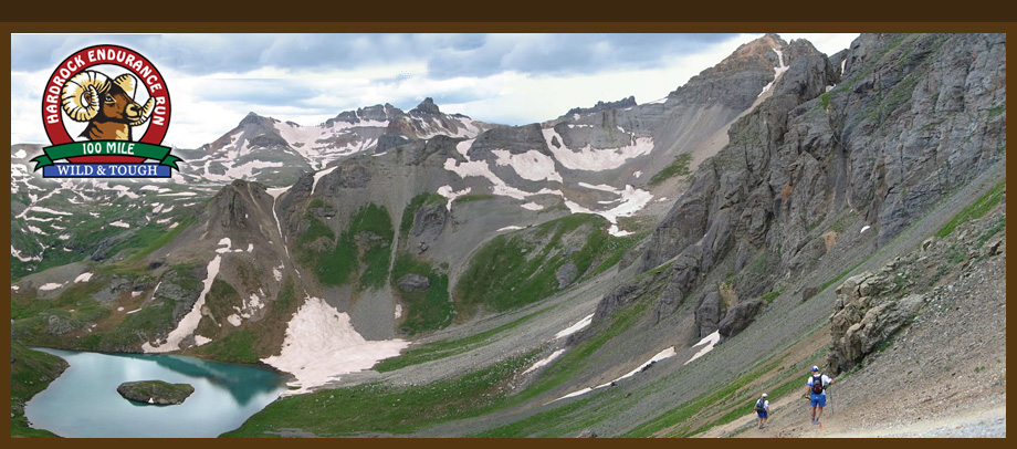
Hardrock 100 At a Glance
100-mile run with 33,441 feet of climb and 33,441 feet of descent for a total elevation change of 66,882 feet with an average elevation of 11,186 feet - low point 7,680 feet (Ouray) and high point 14,048 feet (Handies Peak).
We acknowledge the land the Hardrock 100 traverses is the ancestral homeland of the Ute, Puebloan and Diné people. Information about this land is often told from dominant perspectives, without full recognition of the original land stewards. We invite others to join us in this acknowledgment to heal, renew and reaffirm the First Nations’ history and continued presence in Colorado and pay tribute to these traditional homelands and its people.
All or part of this operation is conducted on Public Lands under special permit from the U.S. Bureau of Land Management and U.S. Forest Service.